About Homer Ships
Dedicated to maritime safety, community awareness, and the love of the sea in Kachemak Bay, Alaska.
Our Mission
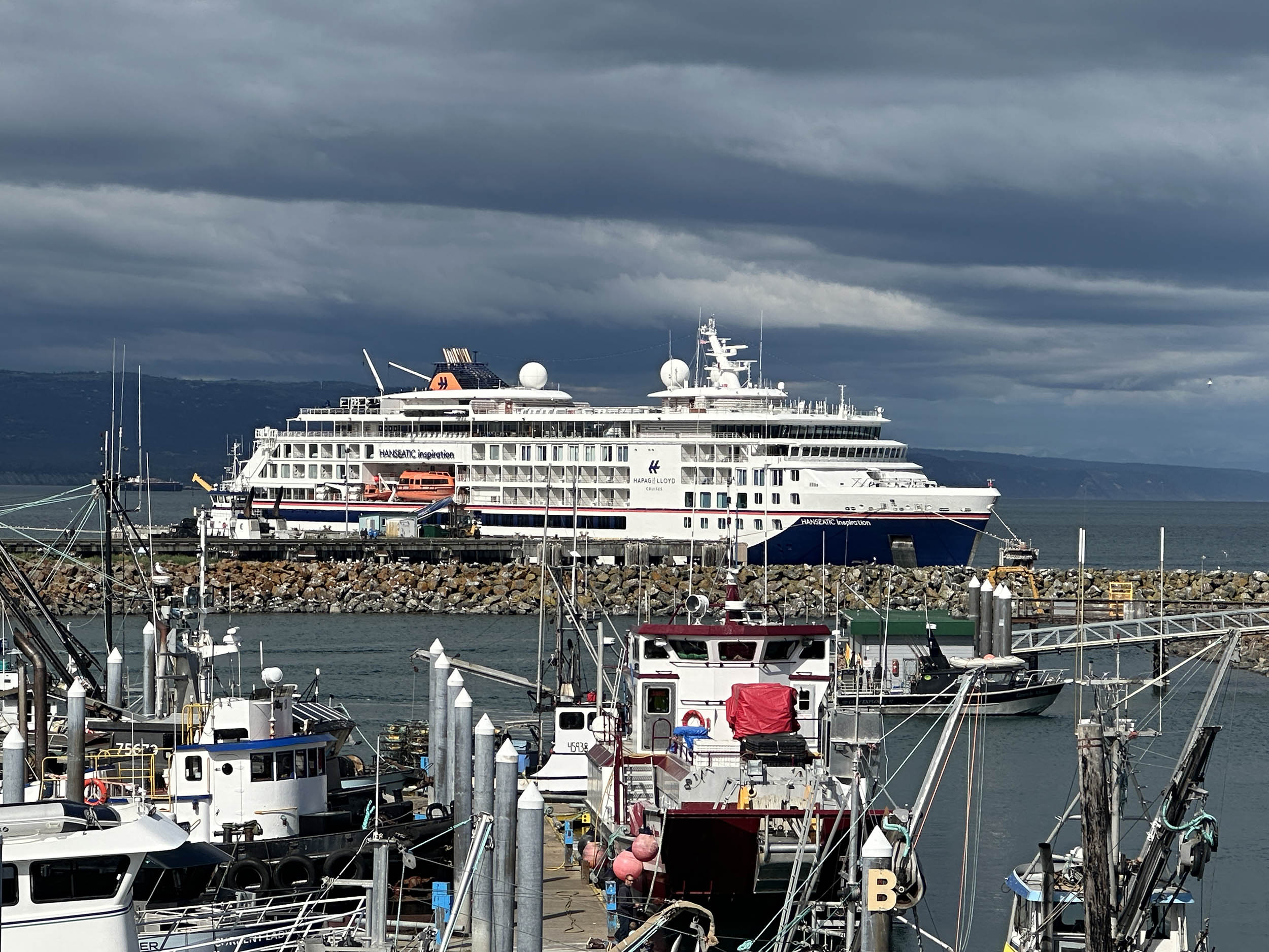
Homer Ships is a local project designed to provide real-time visibility into the bustling maritime activity of Kachemak Bay and Cook Inlet. From the busy Homer Harbor to the remote waters of Seldovia and beyond, our goal is to connect locals and visitors with the working waterfront that defines our home.
Whether you're tracking a fishing vessel's return, monitoring the arrival of the Alaska Marine Highway ferry, or simply curious about the ships anchored in the bay, we provide accurate, up-to-the-minute AIS (Automatic Identification System) data in a clean, accessible format.
Real-Time Tracking
Live position updates for vessels equipped with AIS transponders, refreshed constantly.
Detailed History
Historical track data, voyage logs, and arrival/departure statistics for analysis.
How AIS Tracking Works
- 1 Vessels transmit their position and status via VHF radio signals (AIS).
- 2 Our local receiver stations in Homer capture these signals instantly.
- 3 Data is processed and visualized on our map for free public access.
Kachemak Bay Coverage Area
We currently monitor nautical traffic throughout Kachemak Bay, extending from the Anchor Point line into the inner bay, including Halibut Cove, Bear Cove, and Tutka Bay.
View Live Map →